Adopted Trails

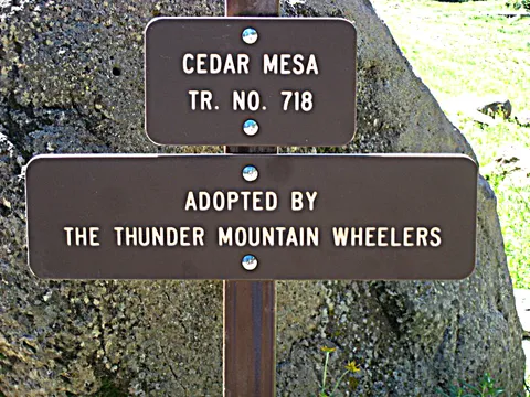
Thanks to grants from the Colorado Parks and Wildlife Motorized OHV Grant Program we deploy 2 50 in trail dozers, a 50 in trail sized backhoe, multiple easy dump trailers, and multiple hand tools on over 160 miles of adopted trails each summer. 


Below you will find links to trails that TMW has adopted on the Grand Mesa, Uncompahgre Plateau, and Gunnison US Forest.  
Click on the trail name for information about GPS coordinates, an area map, and other information associated with the trail. Click on a map below for a trails general location. 
 

If you would like a free 17″ x 22″ waterproof map for any of these areas, email us.

Adopted Trails on the Grand Mesa & Paonia

Adopted Trails in the Paonia Area

A complete list of Adopted Trails on the Grand Mesa. Grand Mesa is managed by the Grand Valley Ranger District in Grand Junction Colorado. 
Adopted Trails in the Paonia Area

A complete list of Adopted Trails in the Paonia Area. This area is managed by the Gunnison Forest Service out of the Paonia District office.


All Grand Mesa and Paonia Trails Maps

Adopted Trails on the Uncompahgre Plateau

A complete list of Adopted Trails on the Uncompahgre Plateau. The Southern end of the Uncompahgre Plateau is managed by the Ouray Ranger District in Montrose and the northern end is managed by Grand Valley Ranger District in Grand Junction Colorado. 


N-M = North Map

S-M = South Map